I just put the final edits on my upcoming presentation for the Fall Meeting of the Wisconsin Society, Daughters of the American Revolution. I’ll be talking about Wisconsin’s first federal road—the Old Military Road—and the men that built it, including our own Jonathan M. Clark.
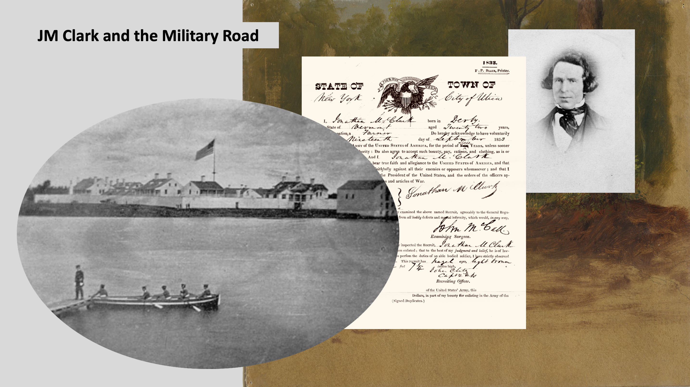
One of my WSDAR presentation slides. From left: JMC’s army post, Fort Howard (Green Bay), JMC’s army enlistment paper, JMC portrait photo.
My talk is scheduled to run for 30 minutes and, as is often the case, I had to cut a lot of information from the presentation in order to keep it inside the time limit. But I don’t want all of those research tidbits to go to waste, so I’m going to post them in a few posts here on the blog. Today, I’m going to list, comment on, and link to some of the key sources that helped me put my WSDAR presentation together. If you have any interest in Wisconsin’s early roads and related transportation issues, I encourage you to check out these sources. Most are freely available online, and I’ll provide links where I can. Happy reading!
Durbin & Durbin, 1984

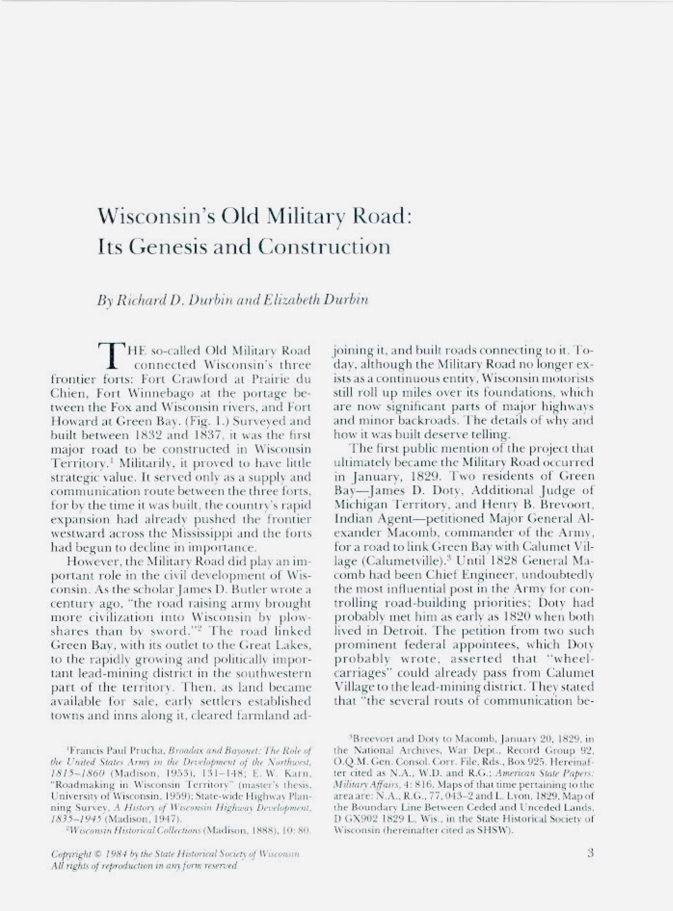
To my knowledge, the best, most detailed, and most comprehensively researched and documented article about the Military Road remains “Wisconsin’s Military Road: Its Genesis and Construction” by Richard D. Durbin and Elizabeth Durbin. It was published in Wisconsin Magazine of History (WMH), Vol. 68, No. 1, Fall, 1984.
The Durbins appear to have consulted a huge number of primary sources, especially the deep collections of the Wisconsin Historical Society (WHS) and the National Archives and Records Administration (NARA). Their article is lavishly illustrated with vintage and modern maps, and will allow the reader to retrace the path of the original Military Road through modern Wisconsin. The authors also document in great detail the many twists and turns of the road’s legislative and appropriations history and the military’s involvement in the project.
Durbin and Durbin is essential reading for this subject, and can be read for free via the Wisconsin Magazine of History Archives at WHS’s excellent website (link to article). And speaking of the Wisconsin Magazine of History…
Continue reading