November 28, 2020, is the 208th anniversary of the birth of Jonathan M. Clark. To celebrate, I’m reposting a revised, expanded and annotated version of one of my first Clark House Historian posts. Since this was first published, on April 20, 2016, we have learned much more about the lives of Jonathan Clark, Mary Turck Clark, their family and their neighbors. Please check out the footnotes and click on the links for some of this newer, more accurate, information.
Happy Birthday, Jonathan! (and thanks to Nina Look for the timely reminder).
JMC: Man of Mystery
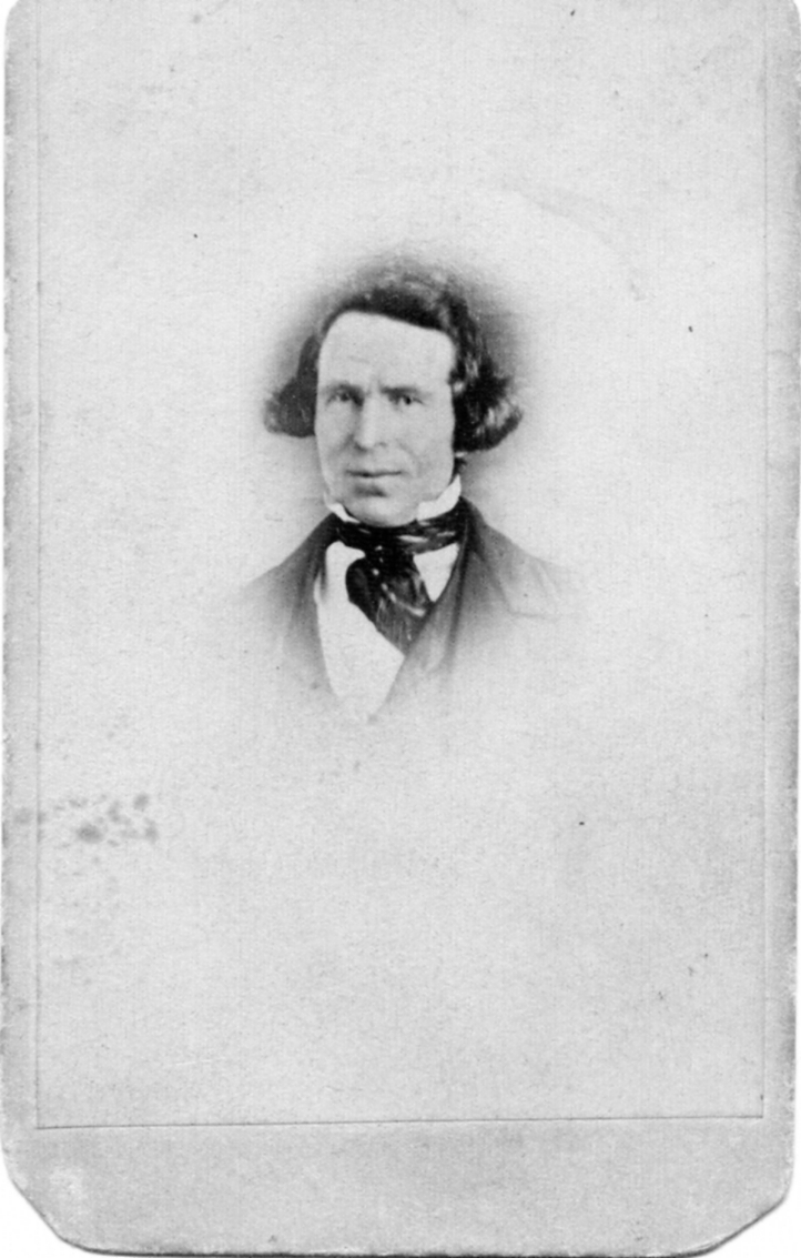
Jonathan M. Clark. Photograph courtesy Liz Hickman.
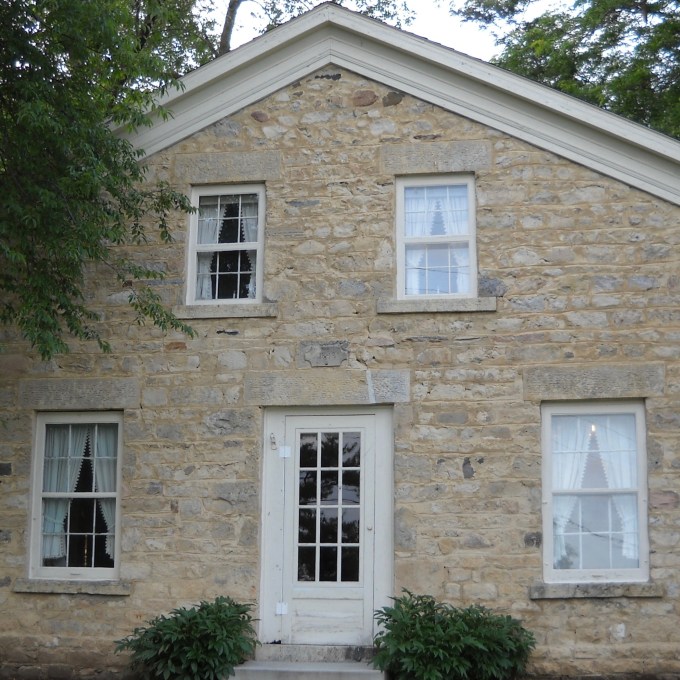
There he is. Jonathan M. Clark, builder and first owner of the handsome stone home that is now the Jonathan Clark House Museum in Mequon, Wisconsin. He was probably born in Vermont—or Lower Canada—probably on November 28, 1812, and he died on September 20, 1857. Before coming to Mequon, he served in the United States Army at Fort Howard from 1833 to 1836. He married Mary Turck, eldest child of Mequon pioneer Peter Turck, on March 15, 1840. They had a large family. We even have a photograph of JMC as an adult (above). In some ways, we know quite a bit about Jonathan M. Clark.
Continue reading