We’re coming up on the tenth (!) anniversary of Clark House Historian, and I realize that in those ten years I have not yet written about all of Mary (Turck) Clark’s immediate family. Regular readers will recall that the Vermont and/or Canadian ancestry of Mary’s husband Jonathan M. Clark remains, in spite of our best efforts, mysterious and—so far—mostly unknown. But we actually know a lot about Mary Clark’s people, the Peter Turck family, including her seven siblings. Over the years I’ve blogged a bit about Mary’s oldest sibling, Joseph R. Turck, and her youngest, brother Benjamin Turck. I think it’s about time I started to write about Mary Clark’s other brothers and sisters, beginning with younger sister Elizabeth Turck, later Mrs. Densmore Maxon.
Elizabeth Turck Maxon’s memoir
A memoir from the Turck family, even a short one, would be a substantial addition to what we know about the family and the events of their pioneer lives. In 1907, near the end of her long and productive life, Elizabeth Turck Maxon wrote down some of her recollections of early days in the area, in the form of a letter to the Old Settler’s Club of Washington County, Wisconsin.
When that 1907 letter was new, some—but not all—of its contents were published in various Wisconsin newspapers. In 1912, editor Carl Quickert included his selection of “the most interesting passages” from Elizabeth’s letter on pages 64-65 of his book Washington County Wisconsin Past and Present, Vol 1 (Chicago, S.J. Clarke Publishing Co., 1912).
In all the various 1907 newspaper editions, and in Quickert’s 1912 history, the omitted passages were usually noted with three asterisks, like this * * * This was typical editorial practice for the time. But, of course, those asterisks piqued my interest. What had been cut? What additional things might Elizabeth’s full text tell us about the early days in old Washington/Ozaukee county?
Old Settler’s Letter, 1907
I spent over a decade looking for Elizabeth’s unabridged, original, text and I think I finally found it. It was published on page 4 of the West Bend [WI] News of March 6, 1907. It’s a long letter, a full column of text, beginning with Elizabeth’s salutation to the members of the club, dated February 21, 1907.
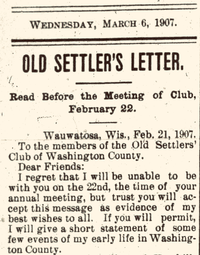
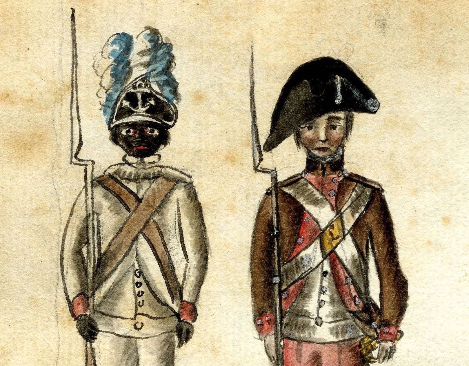
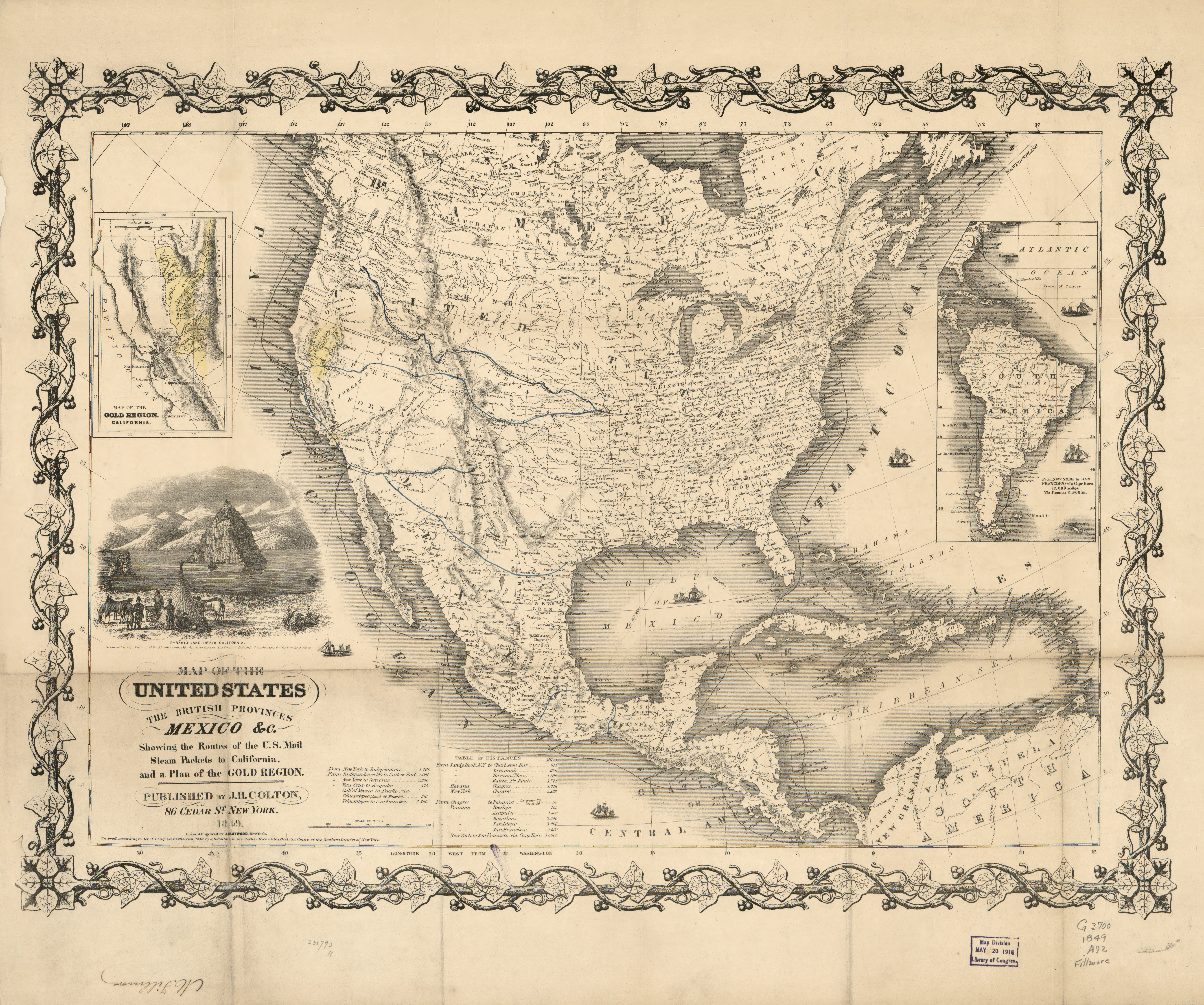
The greetings are followed by the main text, beginning with her birth information and the story of the Peter Turck family’s migration from New York state to Wisconsin Territory in 1837. Below is the unabridged text (in the grey text boxes), interspersed with paragraph headers and my comments in plain type. FYI, I have blogged previously about a number of the events and characters in Elizabeth’s letter here on CHH, and have added links to some of those posts. Be sure to click the links for more information, and some interesting illustrations and maps.
Continue reading