The work continues, here at the Clark House Historian’s state-of-the-art research center…
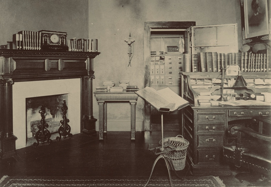
The work continues, here at the Clark House Historian’s state-of-the-art research center…
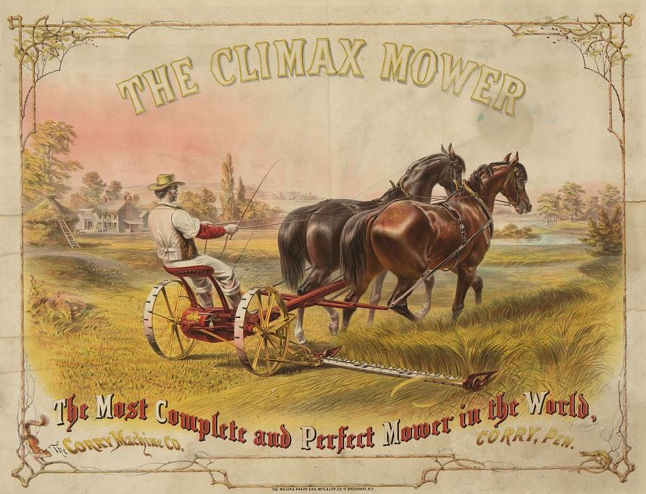
It’s been an awfully dry spring in southeastern Wisconsin. Even so, the grass around the Historian’s house has gotten pretty tall and scruffy. Time to get out the mower and tidy up the yard.
I need to make a correction. In one of the previous posts of our Infrastructure! series, I wrote:
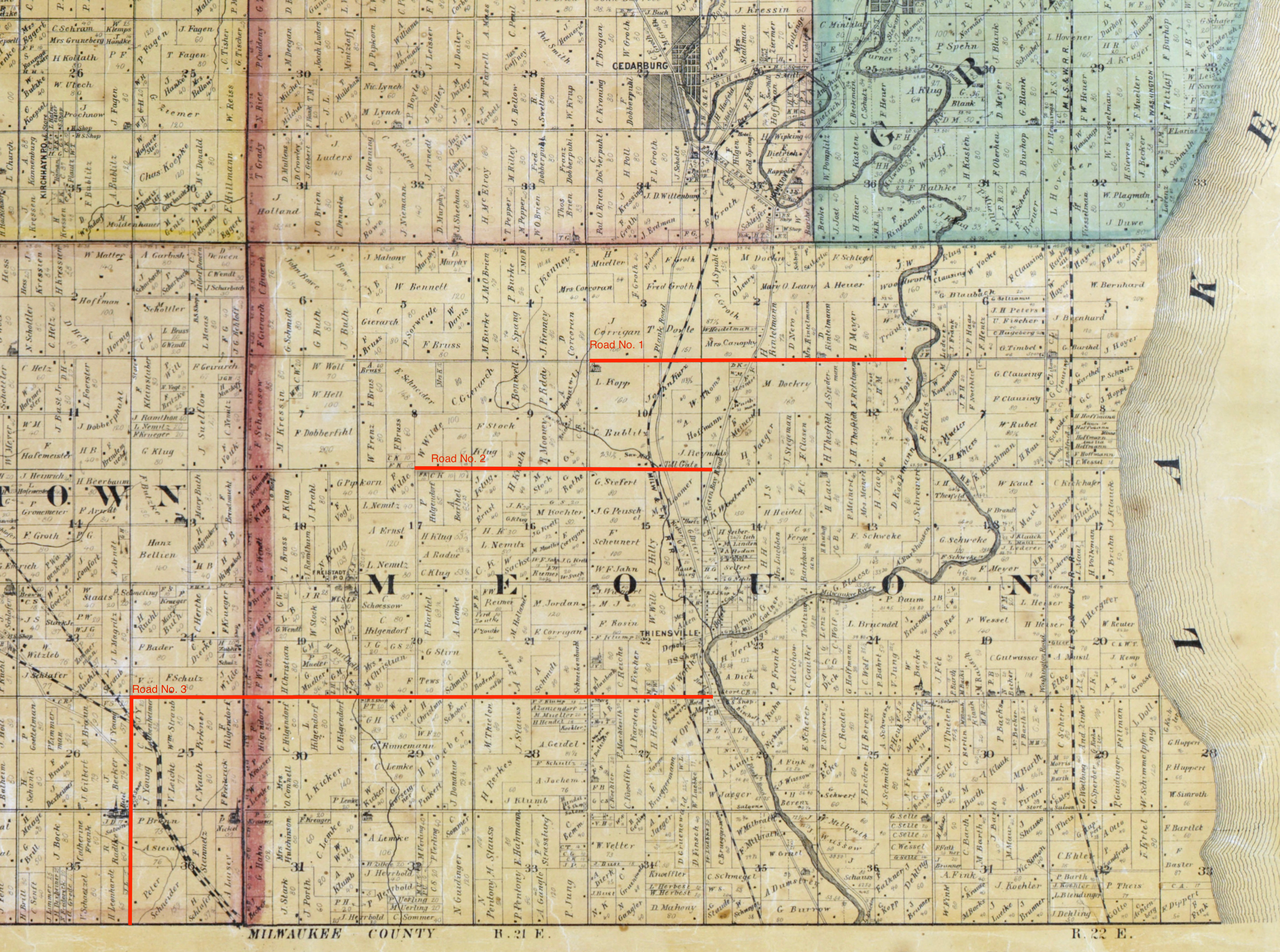
In early 1841, before the commissioners approved county roads Nos. 1, 2, and 3, there was already one federal road in the county. The Green Bay road was a federal road […]. It ran generally south to north, joining Ft. Dearborn in Chicago to […] Ft. Howard in Green Bay. Along the way it passed through a number of growing settlements including the three villages that would become Milwaukee, and the future towns of Mequon, Cedarburg, and Grafton.
That’s almost accurate. To be precise, I should have said there was one federal road in the southeast corner of the county—the part that would become the towns of Mequon, Cedarburg and Grafton—the Green Bay road. But, if you consider the whole of old Washington county, there were not one, but two federal roads prior to 1841, the north-south Green Bay road and the east-west Dekorra road.
Both of these roads appear on the first map of Wisconsin Territory drawn from official government surveys, published in 1837. The two federal roads are indicated on the original map by closely-spaced parallel gray lines. On the detail below I’ve highlighted the then-existing eastern portion of the Dekorra road in blue, and the Washington county portion of the Green Bay road in green:

This is a revised and updated version of a post that originally appeared here on May 25, 2020. Please be sure to read the Notes & Updates, below, for new information.

Graves of Unknown Union Soldiers, Memphis National Cemetery, photo by Clayton B. Fraser, (Library of Congress), public domain. Memphis National Cemetery is the final resting place of Mequon’s Watson Peter Woodworth, and almost 14,000 of his Union Army comrades.
As we begin to recover1 from the worst pandemic in a century, a quick glance at the news will show that many Americans are celebrating this “Memorial Day Weekend” in our now usual way, as “the first day of summer.” Beaches and parks are open, stores entice customers with deals and sales, and people are crowding shoulder to shoulder in swimming pools and along ocean boardwalks.
But for many of us, Memorial Day remains rooted in its origins as Decoration Day. The first national observance was in 1868, when retired general John A. Logan, commander and chief of the Grand Army of the Republic—the Union veterans’ organization—issued his General Order Number 11, designating May 30 as a memorial day “for the purpose of strewing with flowers or otherwise decorating the graves of comrades who died in defense of their country during the late rebellion, and whose bodies now lie in almost every city, village, and hamlet churchyard in the land.”
This Memorial Day, let’s remember those Clark House family, friends, and Mequon neighbors who served in the Civil War, and what they fought—and died—for. The History of Washington and Ozaukee Counties (1881) lists these 65 volunteers from Mequon:
Continue readingAn Infrastructure Week Fortnight Month mystery!
Another episode in our Infrastructure! series, a group of posts focused on the first government “improvements” in old Washington/Ozaukee county. If you need to catch up, start with Monday: Map Day – The First County Roads, 1841, then Marking Out the Roads, and our most recent post, Roads into the Woods, 1841, where we rediscovered the routes of old Washington/Ozaukee county’s very first roads.
First federal and county roads
In early 1841, before the commissioners approved county roads Nos. 1, 2, and 3, there was already one federal road in the county. The Green Bay road was a federal road, cut by the troops of the U.S. army’s 5th regiment. It ran generally south to north, joining Ft. Dearborn in Chicago to the regiment’s headquarters at Ft. Howard in Green Bay. Along the way it passed through a number of growing settlements including the three villages that would become Milwaukee, and the future towns of Mequon, Cedarburg, and Grafton. On the map below the Green Bay road is west of and occasionally parallels the Milwaukee River. It is sometimes labeled Green Bay Road, and sometimes—in the southern part of this map—Plank Road (the planking came later, in the 1850s).
Mapping out the first three Washington/Ozaukee county roads is not difficult. The proposals by the road supervisors, as recorded in the official minutes1, were quite precise. Clear starting and ending points were given, using the standard terminology of towns, ranges, sections, quarter sections and so on, and the lengths of each proposed road had been precisely measured in miles, with fractional miles given as a number of additional chains, rods or links. A map of those first three roads—superimposed on a later map of Washington and Ozaukee counties from 1874—looks like this:
Infrastructure Week Fortnight Month continues!
Our Infrastructure! series— a short group of posts focused on the first county government “improvements” in old Washington/Ozaukee county began (almost a month ago!) with Monday: Map Day!, discussing the 1841 appointment of the first county road supervisors and the organization of the county’s first seven road districts. That was followed up with a discussion of surveyors, their tools, and Jonathan M. Clark’s experiences as a military road builder. Today we’ll take a look at the first few roads laid out and built in old Washington/Ozaukee county in early 1841.

No Mequon history today. Here at the historian’s house we’ve been expanding the garden, and just finished distributing ten cubic yards of soil to the vegetable and flower beds.

I think I’ll just sit on my wheelbarrow and look at a frog for a while.
Continue readingRevised May 13, 2022 to correct spelling of Nathaniel Currier’s name.
It’s mid-May in southeastern Wisconsin, and with luck the last frost is behind us. For the past weeks and months farmers and gardeners have been tending to the soil and preparing for planting. At this time of year in the 1840s and ’50s, Jonathan M. Clark would have done much the same, hitching up his team of oxen to a steel-bladed plow to cut and turn over the tough prairie grasses and break up the soil of his newly-cleared lands.


