Updated, August 4, 2024, to add a few explanatory links, to clarify the years of arrival of B. Clow and D. Maxon, and to clarify which families stayed in Washington/Ozaukee county, and which sold out and moved on.
Home away from home
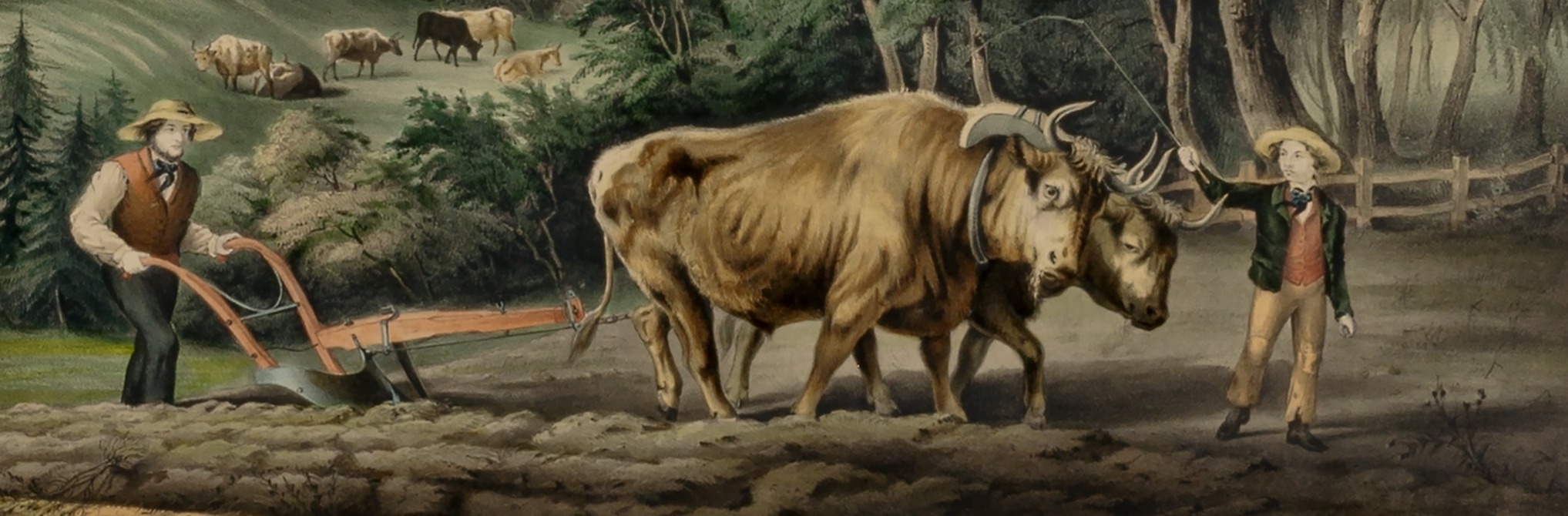
Until the late-1850s, there were no railroads connecting Mequon to Milwaukee. If you needed to go to the city—for shopping, shipping, social calls or legal business—you either had to ride a horse, a wagon, a carriage (a sleigh in the winter), or simply walk there and back. It was about a 19 mile journey, over roads of dubious quality and variable states of repair. Even in fine weather, a one way trip might take the better part of the day.
So it was not unusual for Mequon farmers, such as the Clarks and their neighbors, to need a place to stay overnight when they ventured to the city. And from early days, one of the top destinations for Milwaukee travelers was the American House hotel. In 1844, the American House looked like this…

Advertisement, “American House,” [Prairieville (later Waukesha), Wisconsin] American Freeman, 28 Sept 1844 p 4
Take a moment to click the image and open a larger version in a new window. Zoom in and admire the couples strolling on the balconies and the arriving, or departing, stagecoach at the front door. All in all this looks pretty deluxe, by 1840s’ standards. But the hotel business, then as now, was always changing. Less than six years later the American House would be expanded, refurnished, and under new management…
Continue reading