Infrastructure Week Fortnight Month continues…
It’s been a busy few weeks here at the Historian’s (actual) house, and I’m (very) slowly transcribing handwritten documents and making maps to illustrate the work of Jonathan M. Clark and his fellow road supervisors as they mapped and built old Washington County’s first roads in early 1841. While you’re waiting for those posts, check out our previous installments in this series — County Government – Early Records and Monday: Map Day! — for some interesting background, maps, and first-hand records.
Jonathan Clark – surveyor?
What did Jonathan Clark know about surveying and road building? Probably quite a bit. Like most farmers—then and now—Jonathan would not have been successful without a good understanding of maps, distances, land boundaries and how to best use and navigate the fields, forests and wetlands of his property.
If you recall our earlier posts detailing JMC’s military service (starting with Fort Howard, October 1833 (part 1) and including Ouisconsin Territory, 1836), you’ll remember that his unit, the U.S. Army’s 5th infantry regiment, was responsible for laying out and cutting the new military road that would ultimately connect Ft. Howard in Green Bay, Ft. Winnebago near Portage, and Ft. Crawford at Prairie du Chien. Jonathan’s Co. K was involved in this work for the better part of his final two years of service (1835-1836). This assignment would give him hands-on experience in surveying, map-making, grubbing out roads and building serviceable bridges with the materials at hand. By the time he arrived in Mequon, in late 1839, it’s possible that Jonathan Clark was the most experienced road builder (and one of the better surveyors) in early Washington/Ozaukee county.
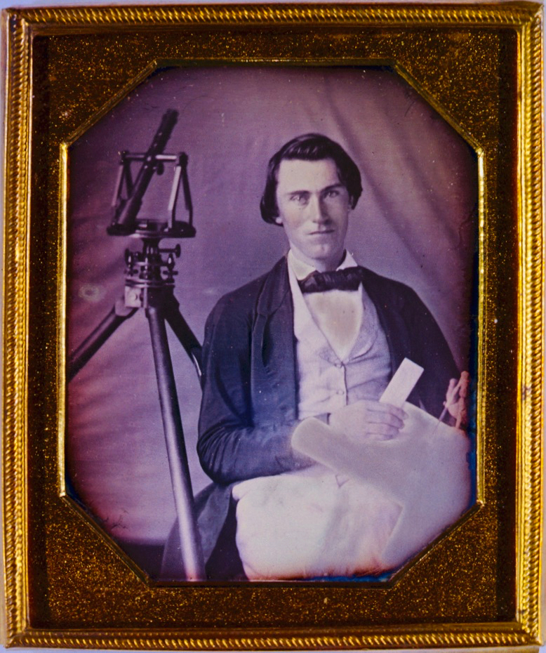
A surveyor and his tools…