There’s a lot going on behind the scenes at Clark House Historian these days. I’ve got a half-dozen blog posts in various stages of completion, plus ongoing research and information-checking projects with Nina Look, Liz Hickman, and others. And, I’ve just heard from a third-great-granddaughter of two of the original Mequon settler families! How cool is that? More on those folks in an upcoming post—or two!
So let’s take a break, and enjoy a relaxing summer view from the Clark House. In this instance, a lovely July, 2015, view from the Clark’s front parlour, looking to the southwest toward present-day Bonniwell Road. According to the 1872 “Shoolmap” of Mequon, neighbors John Kurz and J. H. Townsend lived just across the street. A bit farther west down the road were—still—the farms of old friends and original Mequon settlers William Bonniwell and Jesse Hubbard.
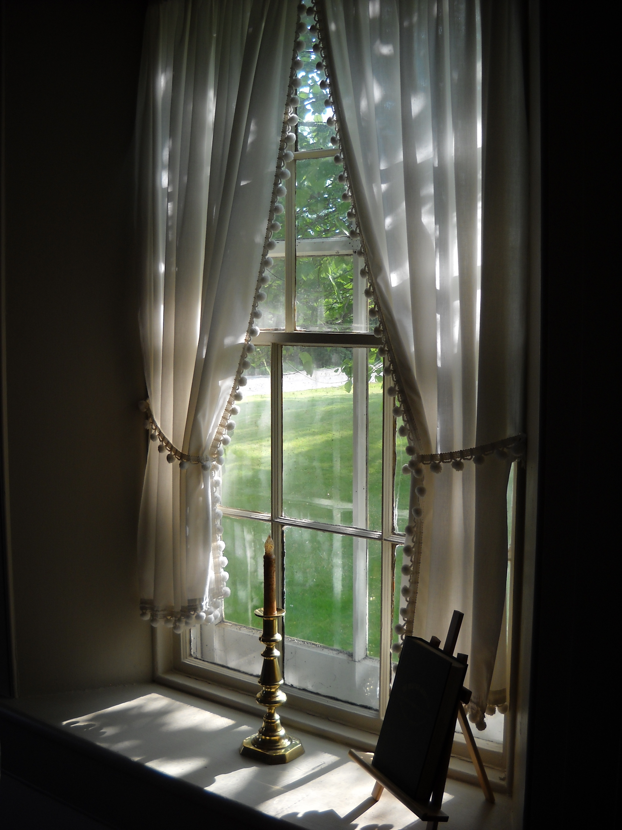
Photo by Anna Perkins, used by permission. Click to open larger image in new window.