A recent CHH comment from reader Meredith Johanson brought an interesting local history newspaper article to my attention. It’s from page 8 of the Sherbrooke [Québec] Daily Record of May 13, 1911, now available as a digital image at BAnQ.
The article was compiled by H. I Bullock, of Beebe Junction, Stanstead county, Québec. The compiler was a descendant of one of the earliest white settler families in the Eastern Townships of Lower Canada, the Ruiter family and, as of 1911, s/he possessed a number of historic Ruiter family documents.
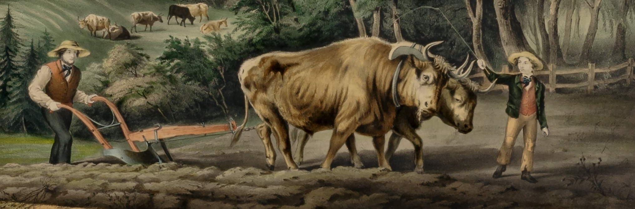
The contents of several of these documents are presented in detail in the article, and include discussions of Ruiter family settlement in the Stanstead area, how farms and homes were created in the heavily-timbered forests of the “New Townships,” various local trades and supplies and their respective wages and costs, and early military affairs, with local militia rosters from 1809 and 1817.
The article is focused on Ruiter family documents, but many other early settlers are mentioned by name, including one William Clark, and several men with the surname Merrill. As far as we know—at the moment—none of these men are directly related to our Jonathan Morrell/Merrill Clark. But the information in this 1911 article does give a hint of what life was like for the first Stanstead-area settlers—such as Jonathan M. Clark’s still-unknown parents—in the early 1800s.

Bartlett, W. H, artist, A First Settlement, drawing, brown wash on wove paper, c. 1840, National Gallery of Canada, public domain.
I have made no cuts to the article, and since the original is long, I have not included extra commentary. I have added more white space between paragraphs for ease of reading, made a few clarifications and citations in the Notes that follow, and added an illustration not found in the original. Here’s the complete transcription. I hope you find it interesting:
Continue reading